
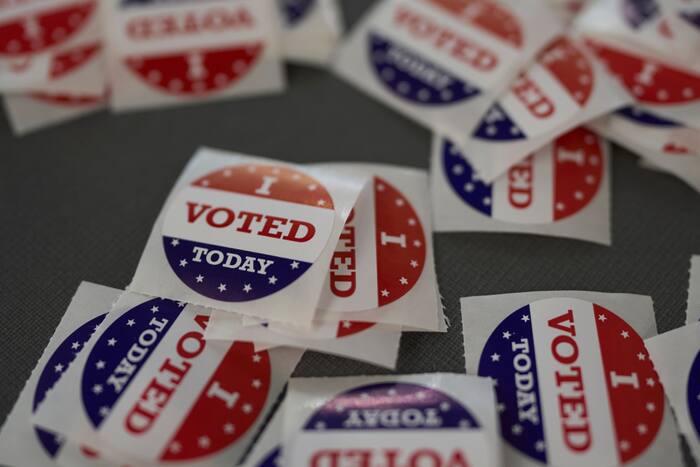
Election Day cold front:
We’re watching for stormy weather on Election Day. Today, a cold front will bring a threat of showers and some strong thunderstorms through the afternoon and early evening hours.


Right now, it looks like the front should be moving through Houston in the mid-afternoon, with storms moving just ahead of the front. Storms should be out of Southeast Texas by 7- 8 p.m.
Behind the front, we’ll see cooler and drier air filter in. This will move temperatures back to the 50s and 70s and drop the humidity to much more comfortable levels.

The humidity is back in full force and will remain high through Monday. Election Day Tuesday’s front lowers morning temperatures back to the 50s, with afternoons in the 70s. A northwesterly wind will dry out the air, bringing a fantastic fall feel.


