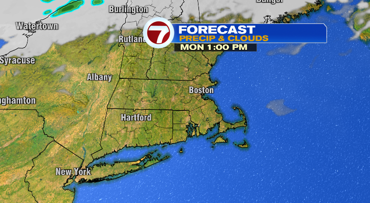
Happy Sunday! It’s been a spectacular day with highs in the 60s and plenty of sun. The sun will continue into your Monday with even warmer afternoon high temperatures. It doesn’t last, though, as we’re expecting a temperature drop Tuesday into Wednesday.
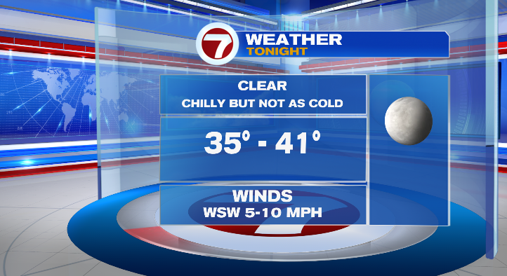
First, evening temperatures will cool quickly to the 40s. Overnight lows will once again dip to the 30s, bringing a chilly start Monday.
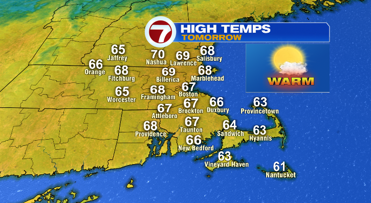
Highs Monday will rebound nicely with most of us reaching the upper 60s to near 70 degrees:
Tuesday there will be a noticeable temperature drop. Not so much in the morning… with mild lows in the upper 30s to mid 40s. But the afternoon hours we’ll only reach the low to mid 50s, so that’ll be a noticeable difference. Dress accordingly! At least we’ll still be bright.
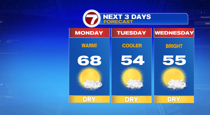
Wednesday morning looks frigid! We’ll get down to the upper 20s and low 30s with highs in the mid 50s. The sun will be out, but that won’t make the morning feel much better.
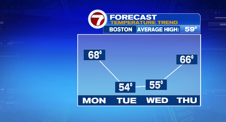
Thursday morning kicks off in the upper 30s and low 40s with highs back into the mid to upper 60s with bright skies. It’ll be a bit breezy at times, too. Friday, a beautiful day! A mild morning in the upper 40s with warm afternoon highs near 70 degrees. The sun will be out, too, with just a light breeze. Get out and enjoy it!
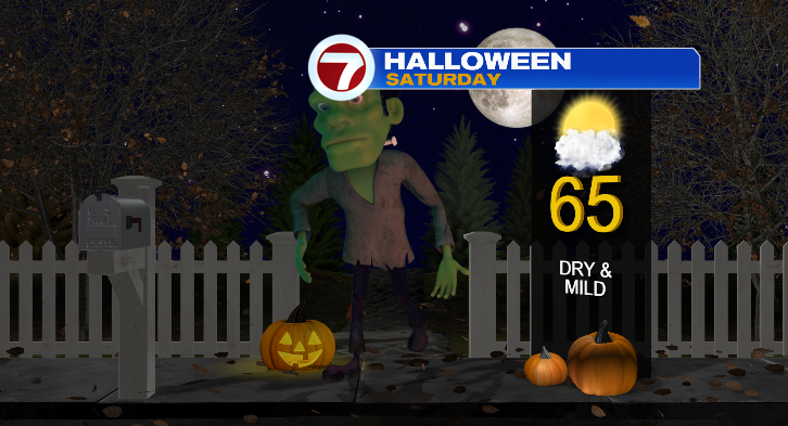
Halloween is Saturday and the day looks perfectly mild! Highs in the mid 60s with a sun/cloud mix.
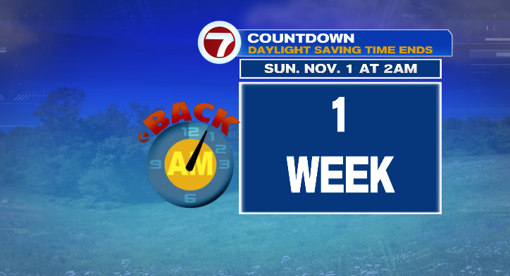
Clocks fall back an hour at 2 a.m. Sunday morning! The rest of your Sunday…mostly cloudy and in the mid 60s. Stay tuned!